Monday, March 19, 2007

Zen Pagan Day

I woke up this morning feeling a bit mello. This being my last day I wanted to savor it and decided that the best way to do that was to take the 40 miles back to Zion at a leisurely pace, stopping for breakfast, take in the Coral Pink Sand Dunes State Park, and then leisurely hike up along the Virgin River just until I found a quiet spot to relax and maybe read. I wasn't sure there was an easily accessible quiet spot on the Virgin River given the noticeable daily rise in tourism, but it would have to do.

Breakfast at "Grandmother Tina's" was excellent and I warmed up to Kanab while eavesdropping, and being included in on, on the conversation at Steve's table. These were obviously a group of locals who met there every morning. They were friendly, kind, retired but active people who enjoyed everything the area had to offer. Yesterday Steve hiked down into Snake Canyon.

After breakfast I headed Northwest stopping for a stroll along the dunes at the State Park. Even the sand here deserves mention. It's so fine its more like liquid than like our heavy, ponderous-by-comparison-granite sand. And the further you dig down with your toes the cooler it gets. What really struck me was how wonderful a place this would be to do some yoga, especially at sunset. Any takers?

Then it was off to Zion. The drive was bittersweet, so beautiful but also the last time I'd see all this beauty for awhile. After passing through the Zion tunnel, driving down two of the hair pin turns and crossing a small bridge I pulled off the side of the road to take a picture. Noticing how nice the little brook looked that went under the bridge I grabbed my backpack, locked Brutus and headed down for a closer look. One thing I've learned about this area, from reading the "Paria River" book, short experience, and listening to Steve this morning was that every river or stream leads up a canyon and every and any canyon can be wonderful. So I headed up the stream bed. Rounded a few corners, a few boulders, climbed up a few sliprock walls, and .... came to what was the exact spot I'd wanted to be. There at the head of the little canyon was a waterfall cascading into a clear pool...(that's it in the picture). I waded in the pool, enjoyed the quiet, watched the butterflies (big yellow ones), thanked the forces that had led me here, then took out my book and read.

Sunday, March 18, 2007

Sandstone, Sliprock and Slot Canyons

Today's adventure started out at the Miracle Outfitters/Bookstore/Coffee shop with a smooth French Roast, a book entitled "Hiking and Exploring the Paria River," and a chat with the clerk. A young woman originally from Wyoming, Jane moved to Kanab for 2 reasons - she likes the warm weather, and there is so much to do in the area. It was she who recommended the book. She also filled me in on Latex Larry. Yesterday I neglected to describe the town of Kanab, where I'm staying. If I had to describe said town in one sentence I'd say, "Kanab is the kind of small town located on a busy highway that has to park a police car with dummy at the beginning of town just to get travelers to slow down." And that Police Cruiser is parked right outside my hotel door, and it's occupant - according to Jane is named Latex Larry.

It was the book however that pointed me in the direction of Buckskin Gulch. After driving 40 miles to the BLM office I obtained the official map with directions and proceeded to the Wirepass Trailhead. The next 4 hours were spent exploring part of the longest slot canyon in Utah "and all the world". To reach the canyon I hiked along a wash through sliprock country, areas were the sandstone had been twisted and turned into amazing shapes and textures revealing banding patterns that are beautiful. Then while temperatures rose into the upper 70's I slipped into the slot canyons. Sometimes the canyon must have been over 100ft deep, 3 ft wide and 20 degrees cooler than outside.
After that I headed back to Kanab, which also happens to have one of the best Mexican Restaurants I've ever had the pleasure to dine at. Then it was back to the Bob Bon Inn for some R & R, and a chance to finish reading "Hiking and Exploring the Paria River," which is also full of local history.

Saturday, March 17, 2007

Swiftly flow the days


Like most days so far a lot has happened between sunrise and sunset.

Sunrise was observed at Bryce Canyon amoungst an international group of fellow sun worshippers. When I reached the point at 7:14 there was already a couple there from Italy. We were soon joined by a Japanese couple a group of Germans and I believe two Frenchmen. How amazing is it to know that people come from all the world to see this country. We were all equally impressed with what we saw. I've uploaded a series of photos to the album.

After sunrise I headed East toward Escalante and the Grand Staircase National Monument. The next time someone challenges you to name something good Bill Clinton did you may now, irregardless of your political affiliation, grandly state that he set aside this vast, varied and unique tract of land in Southern Utah for the enjoyment of future generations. The 60 mile drive to today's hiking destination climbed to an elevation of 8000ft and traversed Ponderosa Pine forest, desolate desert, amazing sliprock and red canyon country.

After turning several bends along rt 12 and exclaiming, "Oh my god" after each one I reached the trailhead for Lower Calf Creek Falls. As the guidebooks says "this trail follows the year round creek through a spectacular canyon to a 126ft waterfall." During the 6 mile hike I also saw picturographs, and trout and got a small taste of a summer day in the desert. I think they must be extremely HOT. Most of the trail was sand and I walked most of it in barefeet. In the morning the sand felt cool by afternoon I about burnt my feet to match the rest of my quickly sunburning body. And the Falls, as you can see for yourself, were just - well- just like a miracle.

After the hike I retraced the route West past Bryce and South past Mt Carmel arriving in tonight's town, Kanab, at 5pm. The exact time everything closed down. This being a very religious area, most of the establishments are also closed tomorrow. After some cruising up and down the strip however I did locate an Outfitter/Bookstore/Coffee shop (Another Miracle!) which is open tomorrow. Now that I had the important details taken care of I checked into the BobBon Inn, sat down on my second story balcony and watched the sunset over the red canyon walls to the West.

PS "Desert Solitaire" is a classic.

Friday, March 16, 2007

Reading the Rocks

At 1:30 I sat down in the shade of a magnificent Ponderosa Pine. Having just completed the 6 mile Queen's Garden/Peekaboo Canyon Loop of Bryce Canyon. I needed a little break. It was at just this moment that a hiker came up behind me asking for the time. When I told him he told me that at 2:00 a Park Ranger/Geologist was giving a talk at Sunset Point on the Geology of the Canyon. He'd "love to chat, but..." had to get to the talk...which was .6 miles and 1000ft above where we were. Out loud I wished him luck, under my breath I cursed his very existence.

The geology of Bryce Canyon and for that matter all of Arizona and Utah fascinates me. It is certainly unlike anything Dr. Hiscock covered in Geology 101 and although I'd read a few websites here and there the pieces just didn't make sense. Now here I was tired and hot but only .6 miles, 30 minutes and 1000ft from a real live person who was going to explain it all.

Have I mentioned I was tired? I'd woken up before sunrise in Springdale, eaten another of the Mean Bean's excellent Breakfast Burritos and driven East on RT 9 (stopping to take the obligatory photo of Checkerboard Mesa) and 89 arriving at the Canyon rim (elev. 8300) at 10:00. It's just like in the pictures, only now it was real. The colors of the hoodoos are so bright, their shapes so fantastic and without a seconds hesitation I started down, then up, then around. The hike was about 6 miles through fantastic landscapes of deserts, snowy valleys, ponderosa pine forests, hoodoos, spires, window walls, etc. All of which I took numerous pictures and now...I would have to climb up out of the Canyon at warp speed.

Did I mention that it was hot? But I did it! The Ranger's talk lasted about 45 minutes during which I finished off the water in my camelback and learned that the area all round here was at one point a giant inland lake surrounded by mountains of different chemical compositions and what unique combination of minerals allows the hoodoos to exist, or rather not erode. If you're lucky - some day I'll tell you too. I also learned why Zion is Zion, what's up, or down with the Grand Canyon and ... I'll tell you later. Needless to say the uphill sprint was worth it.

Now I'm bunking down at Ruby's Inn. (They've got a Western Theme thing going on) Turning in early. Didn't sleep all too well last night - kept having dreams of falling off cliffs and then when I did fall asleep dreamed that I jumped off them and was flying over the Canyon. Tomorrow I'm not sure what I'm doing except I know by nighttime I'll be in Kanab, Utah, about 70 miles South of here.

Thursday, March 15, 2007

Observation Point

Distance: 8 miles round trip
Duration: 5 hours
Challenge: Difficult
Elevation Change: 2150 ft.
Temperature variation: 45 - 80 degrees

After uploading everything last night I got into a conversation with a German hiker who was also using the internet. He was hiking the Narrows today - so I told him all about that. He'd hiked to Observation Point, and told me all about that. I mentioned that I was thinking of attempting Angel's Landing. He showed me a picture he'd taken - of Angel's Landing looking down from Observation Point...and the rest is history.

This morning at 9:00 after an excellent breakfast burrito I pulled into the Weeping Rock parking lot and started climbing. To whomever built all those switchbacks I promise my eternal gratitude. The views were beautiful. wonderful. The climbing enjoyable.

Once again the first people I met were European. The Americans would come later. Guess the Europeans just get up earlier?

Half way up the visable mountain (you know how mountains have that habit of being much higher than the peak you can see), the trail turned a corner and entered a slot canyon. Cool.For awhile it went along a stream bed, then through a narrow section of shear Red Rock walls. Up close those walls are even more beautiful. The veining is so intricate, the colors vivid. Out of the canyon, the temperature started rising as the sun started sliding down the walls. Spring is obviously something that comes here in pockets. Every once in a while I'd see a plant flower that in other areas were still dormant. I love wildflowers and these were as sweet as any I've ever seen.

After hiking 2 miles I stopped for a rest under a Ponderosa Pine that sat off the trail. (Gerald - you're right those Honey Stinger Bars are excellent - could use a tad more chocolate - but really very good) Then started hiking another series of switchbacks. I too am thankful to the people who made these possible...but couldn't they have made them 5, maybe 6 feet wide? Maybe added an edge in some places where it went along shear 1000 ft drop? Okay. It was in this section that I had a panic attack. The fear of heights is a hard one to get over. I actually turned around. Walked down about 20 steps. Hugged the wall. Waited for my breathing to return to normal. Turned back around and never once taking my eyes from the path in front of me walked the remaining switchback section to the Ponderosa Pine Forest of the High Desert which leads to Observation Point.

The Point itself? The picture says it all.

Tomorrow I head for Bryce Canyon.

Wednesday, March 14, 2007

Reading the River

Well those of you who bet on my going up the River have won. What it really came down to was me knowing that as long as I didn't go it would be the main thing on my mind. So after updating the blog this morning I went to Zion Canyon Outfitters, put on a 2 pairs of neoprene booties, one pair of canyoneering boots, and some really large dry suit pants.

I then drove (in those) to the end of the Zion Scenic Drive, hiked the 1 mile paved walkway, entered the River and started off on what is unarguable one of the best hikes I've ever done. Hiking between towering canyon walls is awesome. Hiking IN a river is a new skill all together. As the water rushes down you have to figure out where the water is running deepest and fastest. Often I thought of Mark Twain and his riverboat piloting days. The water was always deepest on the outer bends of the Mississippi, and so I walked the inner curves of the Virgin River. The hiking stick, or sounding pole as I soon came to know it was invaluable. Mark five, Mark three, Mark Twain. Actually it was more like knee depth, hip depth, ankle depth.

Wall Street, the area where the canyon narrows to about 20 ft wide with no shoulders was a powerful experience. Between the force of the water and the height of the straight narrow walls it was almost overwhelming. By the time I reached the end of that section I'd been hiking about 2.5 hours and honestly, my knees were starting to shake.

Walking down stream was a whole new experience and at first I didn't like it at all. After awhile however I got the hang of it and enjoyed that too. So much I took a detour into a side canyon which had a gentle flow and some small waterfalls. It wasn't until after that and I got back to the Virgin River that I began to see other hikers. The first 9, in groups of 3, 2, 2, and 2, were all European. That was a bit disappointing. But soon the Americans started showing up. I guess most tend to sleep later? By the time I got within a mile of the paved walk the river was full of young adult types trying the River in Tevas. Their legs were the red of a well done lobster and I was glad to have the dry suit.

Tomorrow I'll attempt Angels Landing which when you think about it, is basically walking on air.

Good morning

Here I am sitting and typing away on the patio of the "Pioneer Lodge" internet cafe - and a better place to type I can not imagine.Neil Young is singing "Harvest Moon." People are walking by saying hi. I took some shots the sunrise while uploading my last post.


One thing I forgot to mention yesterday were the soft breezes. You can feel them coming down the mountains or rising up off the river. Not like the wind back home, just small locale breezes. They're starting here now.

Take Me To the River 3/13/2007


I thought I was going to Utah but it turns out I'm going to the headwaters of the Virgin River.

But first back to the plane. The ride was loooong but uneventful.("The Family Fortune" is an excellent book) After leaving Phoenix I did see Sedona and San Francisco Mountain off to the East. Then we flew over the Grand Canyon making this trip the perfect follow up to December's.

Las Vegas...hmmm...The song "Leaving Las Vegas" came to mind a number of times as I pulled out of the rental car lot and headed North as fast as I possibly could. Not much to see in Nevada. Guess the highlight would be scorching hot weather and the yellow flowers which I believed to be Santolina blooming by the side of the road. Then the road turned into Arizona and a wall loomed up before the highway and before I knew it a gap opened in the wall out of which the Virgin River Flowed. From all I'd read of Zion the highlight was hiking up the "Narrows" of Virgin River, but here was that same river. I-15 climbed into the high desert alongside the canyon and leveled out around 3000 ft. The road was pretty uneventful after that unil St. George, Utah when the Red Rock reappeared. Turning East on 9 the hills closed in, while at the same time the views up the valley began to be more breathtaking.
It took 4 hours, 1.5 longer than I'd thought, but soon I arrived at Springdale, UT. El Rio Lodge was "right there where the map said it would be" and the people just as friendly as the Lonely Planet Guide book reported. It was 4:00. Sunset wasnt' for another 4 hours. I threw my bags in the room and headed off to the Park.

First off let me say that Springdale is the cutest, but still realest town that is entirely supported by tourism that I have ever seen. Secondly, I say that the tourists that are here - and you can tell its no where near peak - are all outdoor hiker types.

So...I drove up the center park road, stopping at the Zion Lodge parking lot so I could hike the Emerald Pools Loop. I loved it!!! Pictures are here and also available on my Picassa web album. I'll try and add captions to the photos so they make sense. They are all so beautiful and the pools were just lovely. I, of course, had to wade in them.

And it was while I was wading in them that it occured to me...even though its not supposed to be possible this time of year...perhaps with the weather being as unseasonable warm as it is (tomorrow is supposed to be in the 80's) I could actually hike "The Narrows" - a 10 mile hike up the stream bed of the Virgin River. Back in Springdale I checked with an outfitter and they said that people are indeed hiking the Narrows. They rent water shoes and dry suits (the water temperature is 40 - and 3 hours is too long to spend wet in 40 degree water). I'm going to sleep on it. The down side is I can't take the camera, and it will take all day. The upside is I Get To Walk The Narrows!

Sunday, March 11, 2007

Lessons Learned


Over the past few years I've learned a few things. A few of them have to do with preparing for trips.

And so it was with those lessons in mind that I went to Borders yesterday. Having good (paperback) books while going on vacation is vital to the success of the trip. You really can not rely upon the airport bookstores to have that right volume. Once I had nothing other than some hideously boring book that I can't even remember for an entire flight to Amsterdam (Other lesson - Do Not count on there being bookstores in Iceland). But back to Borders and the all important book selection. First off, all books can not be of the same genre. One should be light, almost frivolous. For this category I upgraded from the usual 'chick lit' to "The Family Fortune", a modern retelling of Jane Austen's "Persuasion," a slightly sophisticated version of the genre.

Also on the light side, but also on the uplifting, vacation-as-vision-quest vein, I selected "The Tao of Pooh". One of those books I've been meaning to read for years.

On a slightly more serious note and in keeping with my interest in reading fiction or non-fiction relating to the area I'm visiting is "Medicine Woman," by Lynn Andrews and Edward Abbey's "Desert Solitare". Don't think I'll make it Arches National Park, but I'll be close.

And of course there is the travel guide. This time I went with the lonely planet's "Zion & Bryce Canyon National Parks."

Final important lessons relating to books - do not take hardcovers for the simple fact they weigh a lot. Don't take library books. If they turn out to be awful, or you need more room in your bag, you can't leave them.

And to think, I'm only 45. What deeper wisdom awaits?

Wednesday, March 07, 2007

Wednesday, December 20, 2006

Almost two weeks later

Sitting here in Mystic I keep thinking back to the Grand Canyon.

Still Grand! I'm still going back.

Late April?

Thursday, December 07, 2006

Summary

I noticed this week that I was much more relaxed when hiking back then hiking out on a trail. That while I enjoyed the hike out it was more a walk of discovery, while the walk back lent its self more to inner reflection. I think today feels much like the hiking back part.

At sunrise I walked out to Courthouse Butte. Very cool. The dirt too.

And I realized I need to figure out what I want to do, then where it would be best to do it. I love being outdoors. Looking around here and all the places I've been who wouldn't? And yet still there is a need to do and to produce that is part of the place but also more. I don't want my job and life to be separate, and I want to live as much in the outdoors as possible.

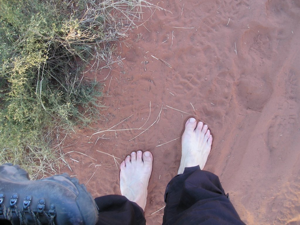
This morning as I was walking around the Butte, my Aslo's kicking up the red dust, and my leg still hurting a bit from yesterday I saw a footprint in the dirt. Not a dog, or a deer, or a horse, or a reebok, or TNF but a human footprint. I took off my boots and enjoyed the rest of the walk in my bare feet.

Sedona

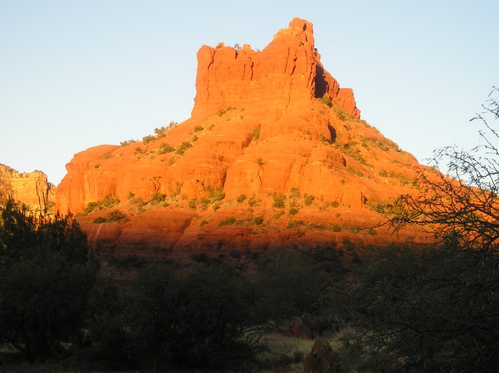
Sunrise on the Airport Mesa, Sunset at the Spinx - and I am exhausted. Oh and Heavos Ranchero's for Breakfast!

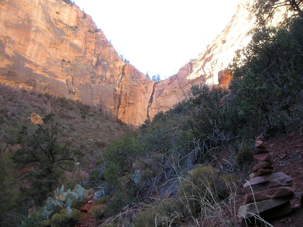
Hiked into Boynton Canyon and it was a great hike. The weather and micro climates here are amazingly varied, as are the trails. I tried to get a few "trail" shots mostly because the ones here as so different from other's I've been on. This one pretty much caputures it. At this point I was in shorts and wishing I was not in a thermal techwich top and had carried more than one bottle of water. It was hot!

Things were much different at the end of the canyon. At one point the trail turns south. I rounded a corner by an alligator pine (very aptly named) and I swear the temperature dropped 15 degrees. So by the end of the trail, when I was eating an excellent humus wrap and basking in the energy of the canyon, I was thankful for the thermal and also wearing a microfleece. The hike out was good. These rocks are amazing.

Next I hiked a bit of the Soldier's Pass trail to the Seven Pools. Then back tracked and sat one of of the red rock aprons beneath "The Spinx."

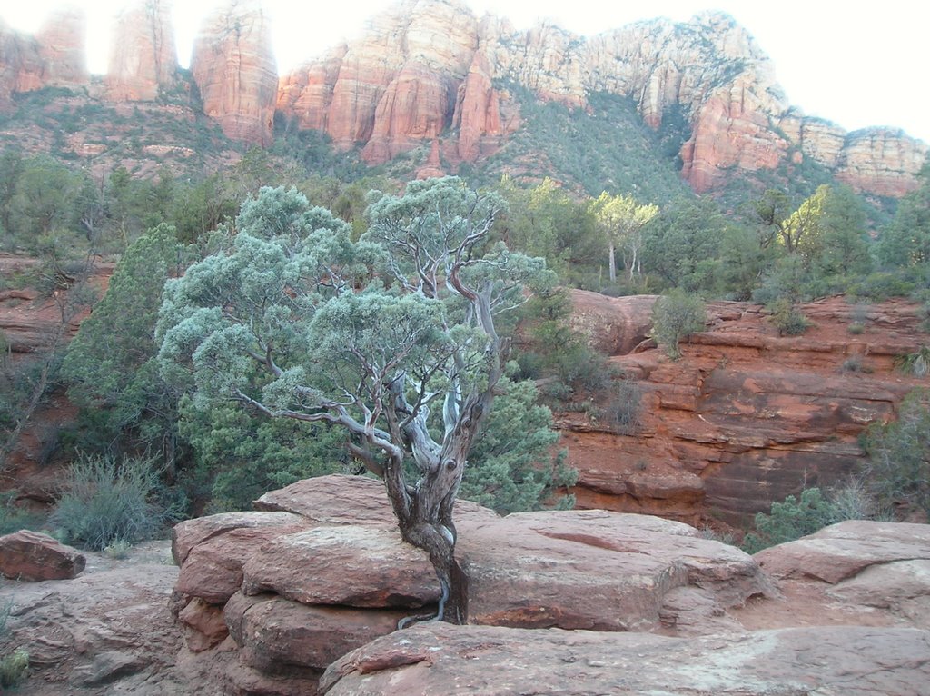
Not only is the geography here amazing, but so too the plants. It's like the entire place is landscaped. Evereything in its place and perfect. This tree at the Seven Pools is just one example.


By the end of today I was exhausted and I'll confess, a bit lame. So after a margaretta and an excellent artichoke and pesto pizza I crashed at the hotel. It took awhile before I wanted to turn on the TV and then I turned it off. It's been nice without it.

Tuesday, December 05, 2006

Comfortable

Today I got to see many new and amazing sides of Arizona.
First was a visit to Sunset Volcano. You can't actually go into the crater, but there is a trail up a cinder pile and through a lava field. Sunset mountain blew its top only 1000 years ago. What is even more impressive to realize geology-wise is that this whole area is full of volcanos. They speculate that the whole San Francisco range was one giant volcano at one time.

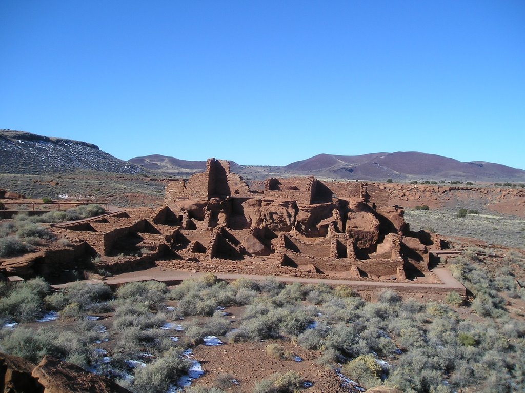
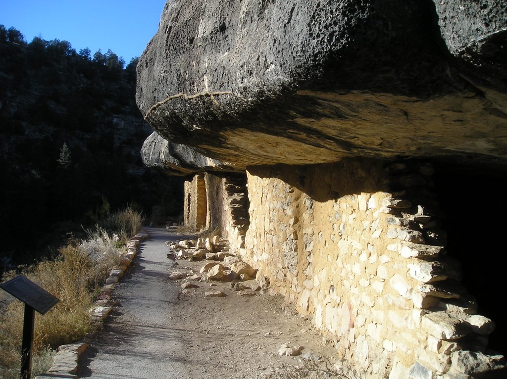
But back to Sunset Mountain. Apparently when it blew or coincidental with it blowing two types of native American settlements were formed. One of peublo houses to the North and another, or cliff houses to the south. I visited both, and gosh was a place of endless resources and variation. On the one hand it's flat, but its not, there are these giant mountains and then these deep canyons. And yet through it all, the place is vast and open and yet one feels comfortable. The forest here, and there are some huge Ponderosa Pine and Douglas Firs throughout are amazing, but still they're open.

Oh and one other thing. This whole fear of heights thing. I don't seem to have it here. Nor do these cute guys. We got aquainted on the rim of Walnut Canyon.

Monday, December 04, 2006

Soul Retrieval


First off, let me say historic Flagstaff is a cool town. Cool people, cool restaurants, cool shops, and again – those cool Arizona people. This is a shot of Flagstaff from right outside the hostel. We’re looking North, across the railroad and RT 66. And it was that very route that I took North to 89 to 64 to the Grand Canyon.

I debated on putting this out there in public – but I can think of no other way to describe my feelings about the Grand Canyon – so here goes. I have always thought of the soul as something vast and open beneath the relatively flat, calm exterior.
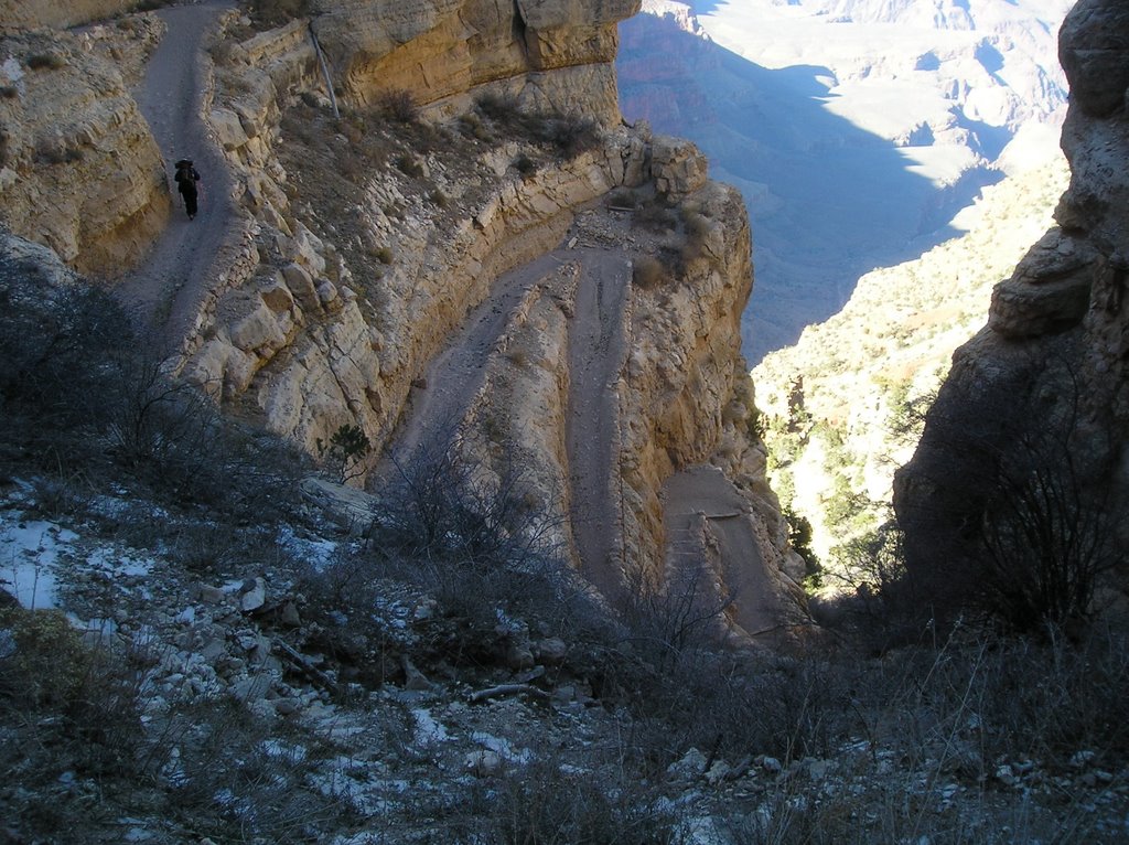
The Grand Canyon in 3-Dimensional model of the soul – mine at least. Standing there on Desert View Rim was one of the most moving experiences of my life. Descending into it, although only 2000 feet is again beyond words but my soul sure felt at home. Felt a few others with me as well.


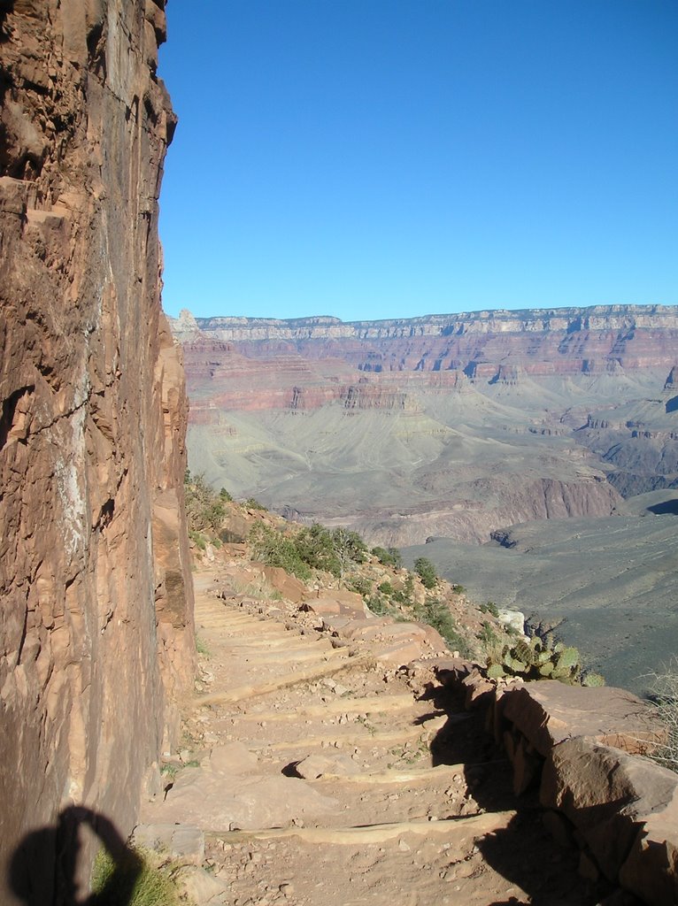
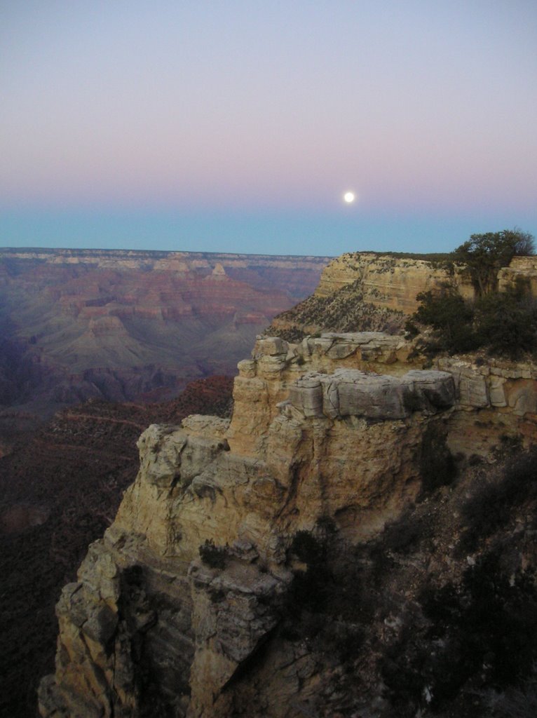
This is a shot taken from where I ate a snickers bar, tanned, and turned around.


This is a shot of the same place taken from the main overlook.


Then the full moon rose.

Sunday, December 03, 2006

Je suis ici

...or as they say in English. I am here!

Other than that I'm pretty speachless. Detail-wise the flight went really well, it was/is a beautiful clear day. With the recent snow among the trees and buildings in the midwest more than half the country looked like a pointalist drawing.

Phoenix is a travesty against nature, but it was warm and the people really nice.

So I headed due north up I-17 and stopped an hour later at Arcosanti. An architectural experiment on how people could co-exist with the desert and live in community. It's only in the beginning stages. I took the tour with Joanne. A local horse rancher, and Berkeley grad who just loves the place. Stopping in the bakery on the way out I met Kim who grew up in Woodbury but came to Arconsanti to cast the bells. (I'll fill this in later or you can check out their website) Again very cool people.

Back on I-17 and over the ridge(?) into the Verde Valley. Oh my god! and then I saw the rocks to the North West. So...took the road to Sedona. Airport Mesa. Oak Creek Canyon. Again Speachless. (And that's saying a lot for me).


Now however, it's time to eat!

Monday, October 09, 2006

Sayings

Just going to collect a few of my favorites:

  • Ain't what you do, it 's the way that you do it.
  • Follow your bliss
  • Don't put off to tomorrow what you can do today because if you like it, you can do it again tomorrow.
  • "Simplify, simplify, simplify" Henry David Thoreau
  • "One 'simplify' would have sufficed" Ralph Waldo Emerson
  • The path is the goal
  • The thief who stole my life, has taken too my faith
  • I sing the body electric
  • "Between two evils, I always choose the one I haven't tried before." Mae West
  • Be not afraid of death, be afraid of the half-lived life

Monday, August 14, 2006

You never know ( or the path is the goal)

...so after weeks of trying to decide where in NH I'm going to hike this weekend, I'm driving through Springfield when deep in my gut I know I'm going to Vermont; to the trailhead on rt 103. Its time to pick up the path, and continue on from where I left off.

11:30 and here's Angela at the trailhead. Clarendon Gorge to the south, my first 4000fter to the the North. I feel great, really good. It's time to move on, to be continuing on the path I set out on many years ago. Guess, unconsciously that I've been avoiding this section because - well, its hard to backpack up a mountain.


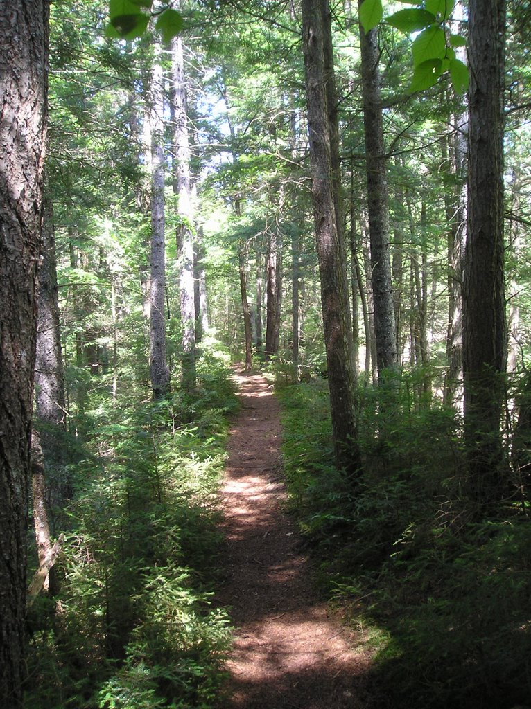
The Trail immediately heads up. On the way are some of these trillums in seed. I walked the previous section in spring when they were blooming, and I'd never seen so many in one spot. Now its amazing to see their brilliant red seed pods.


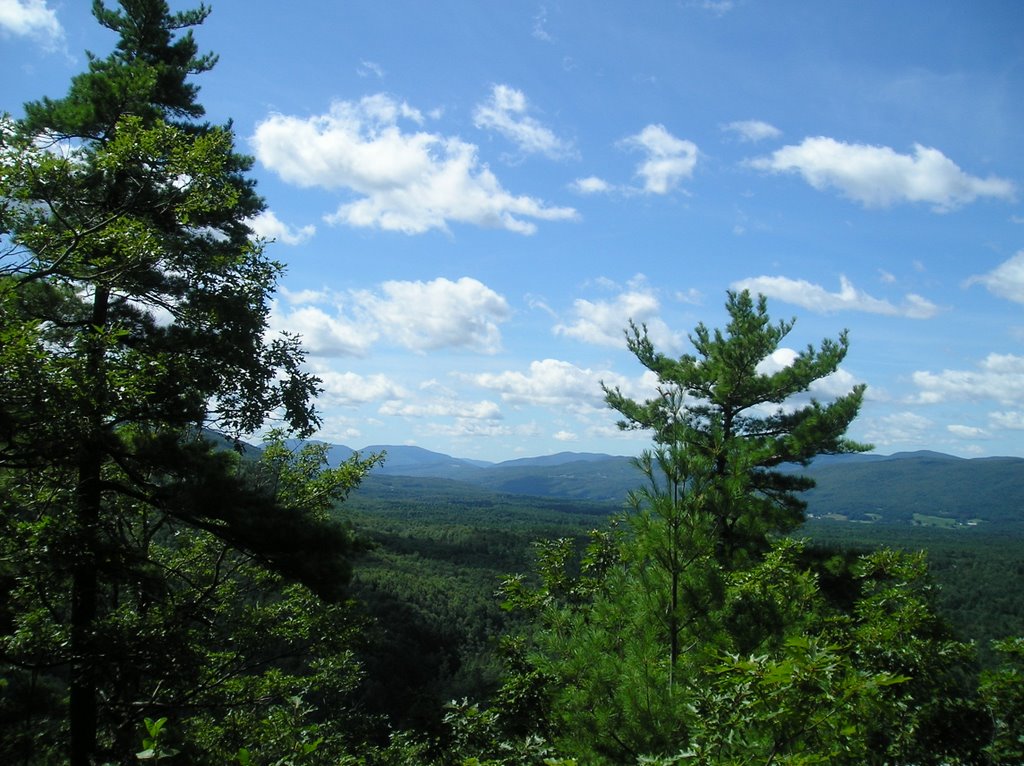
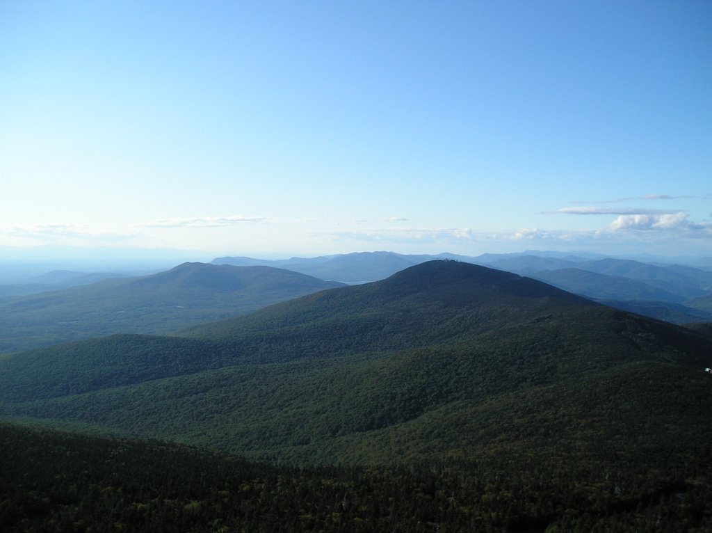
About 1000 ft up there is an overlook to the South. Cool to think I've hiked through those hills.
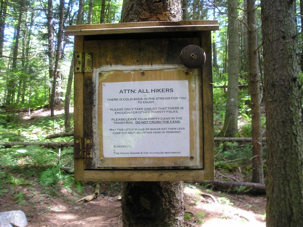
After a little drink and a snack, it's time to move on. While I'm happy my gut decided on this route, I'm a bit concerned about having to hike 12 miles, up a mountain, with a 26 lb pack - but gosh it is beautiful and there is always trail magic! I'd been hiking about 2 hours through amazing woods - huge pines trees and beeches, across little brooks and a few abandoned farm fields when I came upon an exceptionally nice stream - in which - very strangely - were 10 cans of soda. The sign on the other side of the stream however, explained it all.

Gosh! I love the Trail - and the people on and around it.

And of course aside from that there is just the miles of unending simple beauty...which my feet and hips are begining not to appreciate. Its 4:00 and I'm not even to the base of Killington. I'm starting to question my gut feeling to do this route. I'm wondering how I'm going to make it all the way back down, and I'm not even up, but right now I'm at a bridge crossing the Cold River and its time for a break. And then I remember - bus. Someone once mentioned that there are buses that run along rt 4, and according to my map, rt 4 is on the other side of Killington. The map also says its 7 miles from the rt4 trail head to Rutland, and 5 miles from Rutland to the rt 103 trailhead. So if my legs give out I don't have to go back over the mountain. Cool. This is, once again, doable. Sometime you have to go with your gut and trust that things will work out for the best.


At 6:30 I arrive at Cooper's Lodge. The days destination. Talking to a local there I confirm the bus option, stash my pack and head up the .2 mile scramble to the summit.

Need I say more?


Sunday, August 06, 2006

Amended saying

You know how I always say - "Try everything atleast once because if you like it enough you can do it again tomorrow".

Well, I have to change that to "Try everything atleast once every five years because you might find you like it now, and if you like it enough you can do it again"

---I went kayaking Thursday (in a Thunderstorm!) and even if there hadn't been a storm and some really great company - I really liked it. Went again Saturday and will definetly go again.

Hence the new saying.

Thursday, August 03, 2006

Guess What?

I just realized---I could easily just go back to Holland next year.

Why do BRAN or BRAT - I'd rather go to Holland.

The cost would be the same
I know the area - less stress
I've got most of the maps
Cheese!!!!!

Saturday, July 29, 2006

Annual Aug 14 Hike

I've been section hiking the AT from New York northward on and off for the last few years and have made it to Clarendon Gorge/rt 103 in Vermont. The next long weekend section would take me from rt 103 to the Connecticut River. Looking over the maps, following various discussion and looking at shelter pictures makes me wonder if this is would be a nice hike - or if I'm just obsessing about doing the trail section by section when I could take the 4 days and skip ahead to NH, or (don't say it) do a hike that's not on the AT at all.

i.e is the next NH section just so much better that I should just jump ahead?

Thursday, July 27, 2006

Tuesday, July 25, 2006

I am


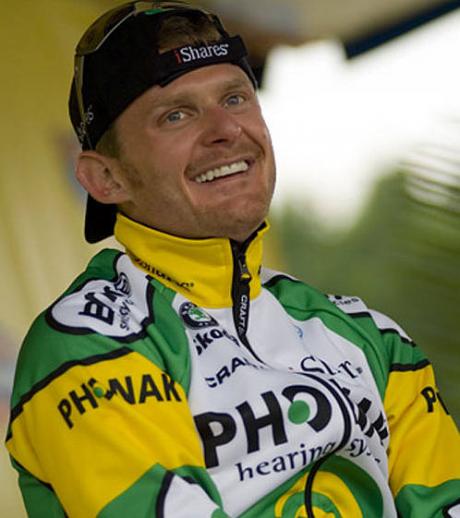
My daughters tease me that I have become a groupie. Well... this article clinches it:

Another Landis Story

(But only for Floyd)

So then I have this decision to make. There is a rumor that he will be in a parade in Lancaster. Do I go? Could I be that much of a groupie?

Monday, July 24, 2006

Plans

Off to a meeting in Worcester today, then EMS tonight.

What I would like to do soon however is plan the next year and then make an even longer term plan. I know one goal is to establish a sustainable, healthy, awesome body life-style. I really like being fit.

Gotta run

Sunday, July 23, 2006

We love Floyd!

Today Floyd Landis won the Tour de France. An excellent example of the saying, "it ain't what you do its the way that you do it". His fortitude in Stage 17 will serve forever as a symbol of how never to say never, that when things look impossible one can still act with great determination and spirit. Doesn't matter if one wins or not, what matters is the spirit.

On the other hand, can't say many American's know of this momentus event. I made and wore a "We love Floyd" t-shirt to EMS and not a single person made a comment.

tsk, tsk.

Had a good ride after work. I'm thinking about doing BRAN and BRAT in 2007, but I'd like to have a friend to ride and train with. Any volunteers?

Saturday, July 22, 2006

Turkey Day

So yes, I for know I didn't keep the blog during the trip and I've failed to upload the photos since. But... I have continued riding my bike.

Had to get up and out on the ride early what with the forecast for thunderstorms - and Floyd leaving the start gate at 10:15. Took one of my favorite routes East on Rt 1, North on Anguila Rd., West on 184, South on that really cool ride with the great hill.

One of the things I like to do on a ride is look to the side. It feels just like it looks like when they show the races on tv. Today, every time I looked there was a turkey family. There were about 5 in all. Some very large, having 6 or more chicks.

So now I'm watching Floyd. Whatever happens...stage 17 was amazing. We should all be like Floyd.